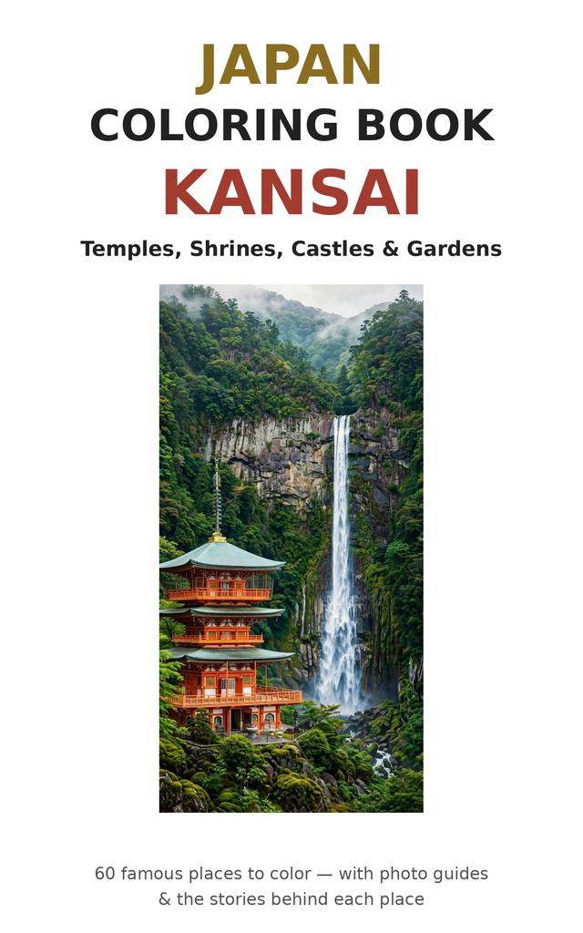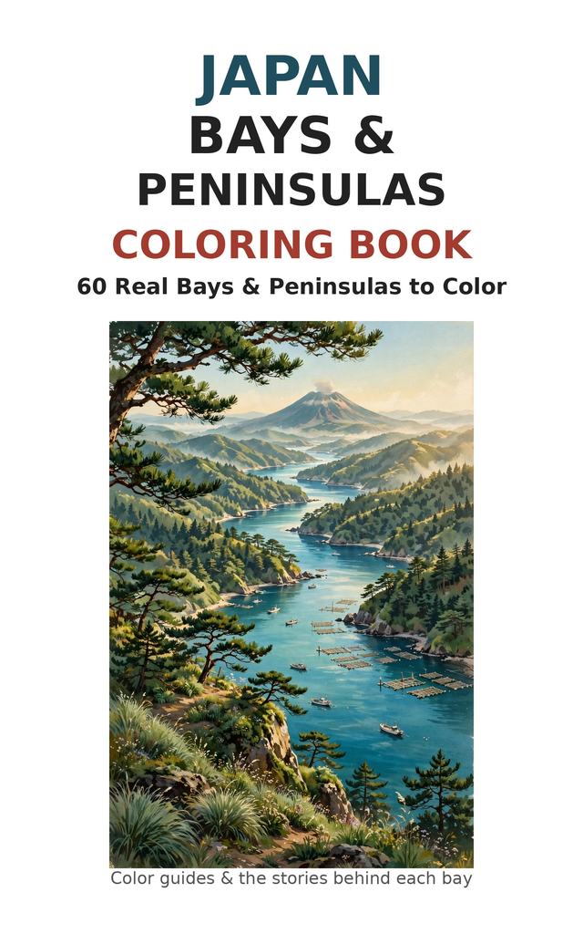
Japan Bays & Peninsulas Coloring Book
- AuthorAki Wakamatsu
- PublisherTakikawa TOKOTOKO Kids LLC
- CategoryColoring Books
- LanguageEnglish
- FormatEPUB ebook
About this book
Sixty real bays and peninsulas of Japan — the great named curves of the coast, each one ready to color.
Other coloring books give you points on the coast: a lighthouse, a beach, a rock. This book colors the shape of the land itself. Every stop is a real, named landform in its real view: the sawtooth ria inlets of Sanriku and Shima, the near-perfect circle of Omura Bay, the mirror lagoon of Matsukawaura, the drowned forests of Notsuke Peninsula, the sandbar tombolo of Chiringashima that appears only at low tide, and the long thin spine of the Sadamisaki Peninsula with sea on both sides.
Every subject appears as a two-page spread: on one side, a full-color guide — a photograph of the place today — with a short story of how the landform was made (volcano, subsidence, drowned valley, sandbar), what lives and is farmed in its water, and exactly how to color it; on the other side, a detailed coloring page of the very same view, converted from the real photograph so the scene you color is the scene itself.
Inside you will find: • Hokkaido and the north — volcano-rimmed Uchiura (Funka) Bay with fishing boats under Mt Yotei, oyster-lagoon Akkeshi, the drowned Todowara forest of Notsuke Peninsula, the whole mountain spine of Shiretoko seen from the sea, and the sunbeam lagoon of Lake Ogawara • Tohoku and Sanriku — the stone Buddhas of Hotokegaura on the Shimokita Peninsula, flat Unosaki on the Oga Peninsula, oyster-raft Yamada Bay, the twin capes of Karakuwa and the rebuilt shore of Shichigahama on Sendai Bay • Kanto and Chubu — the Futtsu sand spit reaching into Tokyo Bay, Arasaki and Aburatsubo on the Miura Peninsula, Hayama and Zushi under Mt Fuji, Ose Peninsula and the cliff road of Satta Pass over Suruga Bay, the red torii of Bentenjima in Lake Hamana, and Takeshima's long bridge in Mikawa Bay • The ria heartland — Matoya and Gokasho Bays, a labyrinth of inlets, pearl and nori rafts south of Shima • Kansai, the Japan Sea and Chugoku — the singing-sand lagoon of Kumihama Bay inside the Tango Peninsula, the Ganmon rock gate of Noto, the Shimane Peninsula's cove coast, Hagi Bay and its volcanic Abu islands, and the Great Seto Bridge from the Kojima Peninsula • Shikoku and Kyushu — Katsurahama's crescent under Kochi, Beppu Bay, the floating torii of Ouo Shrine in the Ariake Sea, rainbow-pine Karatsu Bay, Momochi's city shore on Hakata Bay, glass-calm Omura Bay, Gunkanjima seen from Nomozaki, the Chiringashima tombolo in Kagoshima Bay, and the rocket coast of Uchinoura • Okinawa — the Kaichu-doro causeway crossing Kin Bay, and the mangrove-fringed Haneji Inland Sea • 60 full-color guides with the geological story of each landform (91–106 words each) • None of these sixty subjects appeared in our previous Japan coloring books
Sixty curves of coast that took volcanoes, drowned valleys and patient sand to make — bring pencils, and take your time.
Written and created in Japan by Japanese author Aki Wakamatsu. Published by Takikawa TOKOTOKO Kids LLC, a Japanese publisher in Hokkaido, Japan. Authentic Japanese content, carefully made in Japan — not mass-produced.